
Kenya's Real-Time
Emergency Response Network
Bridging the gap between citizens on the ground and official safety agencies. Report issues, get verified alerts, and see what's happening nationwide in real-time.
Trusted By Kenya's Leading Safety Agencies
How It Works
A seamless flow of information from the streets to the command centers.
Report
Citizens report issues with location, photo, and category directly from the ground.
AI Grades & Maps
AI auto-grades severity and instantly updates the live tactical map for all to see.
Agencies Respond
Officials coordinate their response and send out targeted, verified alerts to the public.
Real Impact on the Ground
Stories from officials and citizens saving lives.
"RadaAfrica helped us coordinate a multi-agency flood response in Tana River County within hours, not days."
"I reported a gas leak in my estate and within 30 minutes, the fire brigade was on site. This platform saves lives."
"The AI-powered risk overview gives us a county-by-county picture we've never had before. Game-changer for preparedness."
Built for unified response.
When an emergency strikes, information is critical. RadaAfrica brings citizens and agencies into a single operational view.
Instant Coordination
Unite multiple responding agencies and citizens on a single platform. See reports the moment they happen, mapped geographically.
Structured Response
Assign roles, track the chain of command, and establish clear official safety zones to direct the public safely.
Better Communication
Send automated, targeted multi-channel alerts exactly where they're needed. Transparency builds trust.
See what's happening across all 47 counties.
Explore our real-time tactical map shading areas by current incident severity. Follow official zones and read AI-generated county briefings to stay informed and safe.
Explore Live Map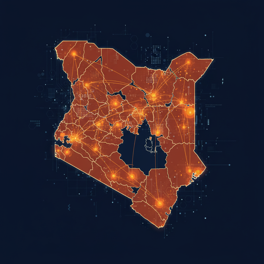
Every second counts in an emergency.
Join thousands of citizen reporters. Your report could save lives.